Trimble TerraFlex
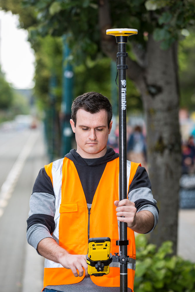
The Trimble® TerraFlex® GIS data capture system is a flexible and easy-to-use cloud-based solution for field data collection.
-
Set up, manage, and assign data collection projects using the Trimble Connect cloud platform.
-
Manage map data and create digital form templates for data collection using the Trimble Connect Map Viewer.
-
Work with local projects in TerraFlex that are never synchronized through the cloud.
-
Connect your device to the Trimble GNSS receiver of your choice and collect attribute-rich and accurate geo-located GIS and asset information using the TerraFlex field app.
Browse the Trimble TerraFlex help using the menus above or enter your search term in the search field at the top right of any topic. This content applies to version 2024.23.
For information on the latest updates to the Map Viewer or the TerraFlex field app, see Releases.