Trimble Access 2024.00 is here
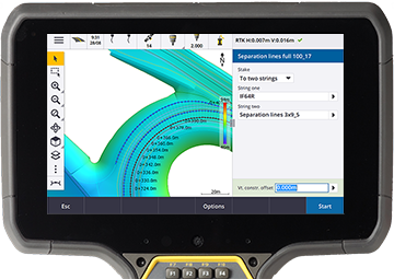
Trimble Access 2024.00 provides improved survey workflows when measuring lines or when staking relative to a surface, including a surface in a BIM file. It is now also easier to manage properties in a BIM file.
Trimble Access 2024.00 also supports several new additions to the Geospatial hardware portfolio including the Trimble DA2 receiver, the TDC6 handheld and the TDL450B radio.
For more information on workflow, user interface, and performance improvements, click below.
Download files from the Trimble Access Help Portal
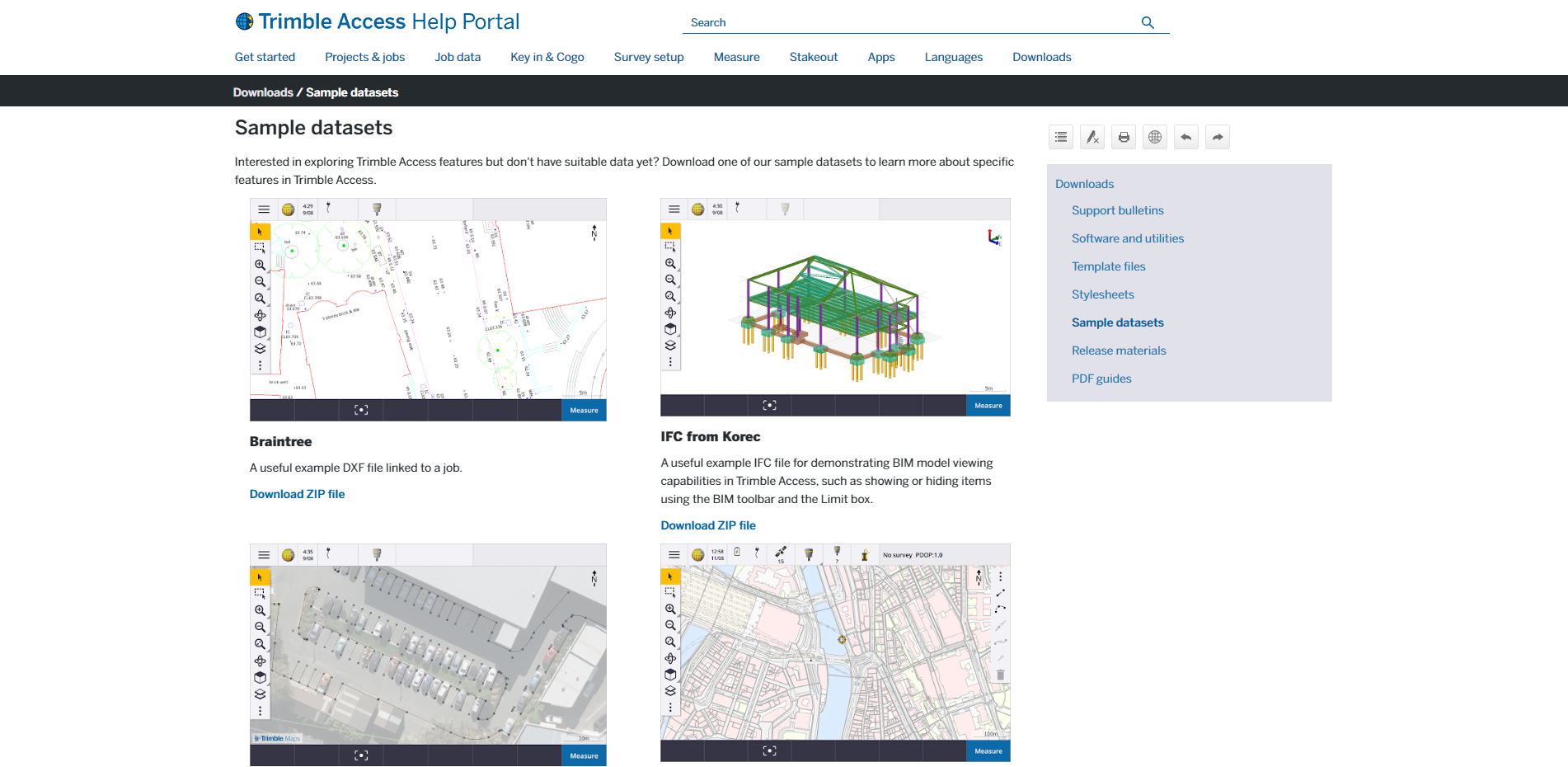
The Trimble Access help portal now includes a Downloads area, giving you easy access to template files and software utilities you can use with the Trimble Access software.
From the Downloads page you can also download sample datasets
To view the Downloads page, click the link below or click Downloads from the top-level menu in the Trimble Access help portal.
